
Page 1 of 3
Quebec City, Quebec, Canada
You got to take the elevator to the mezzanine, chump
High atop the surprisingly low vertical city- above the river, above the unending flights of stairs, above the crowded, sweaty funicular, a statue of Samuel de Champlain seriously thinks about leaping from that damn confining pedestal to see once and for all what all the fuss is about across the plaza.
The Chateau Frontenac, built by the Canadian Pacific Railway and operated by Fairmont Hotels, claims to be the most photographed hotel in the world, at least from the outside. It certainly does boast a killer location, perched atop the cliffs, framed at the end of most scenic streets and visible from virtually every scenic spot in the (old) town. Inside, where rooms hover at about $450 CDN, guests may find themselves in well appointed rooms with nice comfortable beds and every imaginable amenity- however from inside, every single room lacks one thing that my $50 CDN Bed and Breakfast had in abundance- a good view of the most photographed hotel in the world.

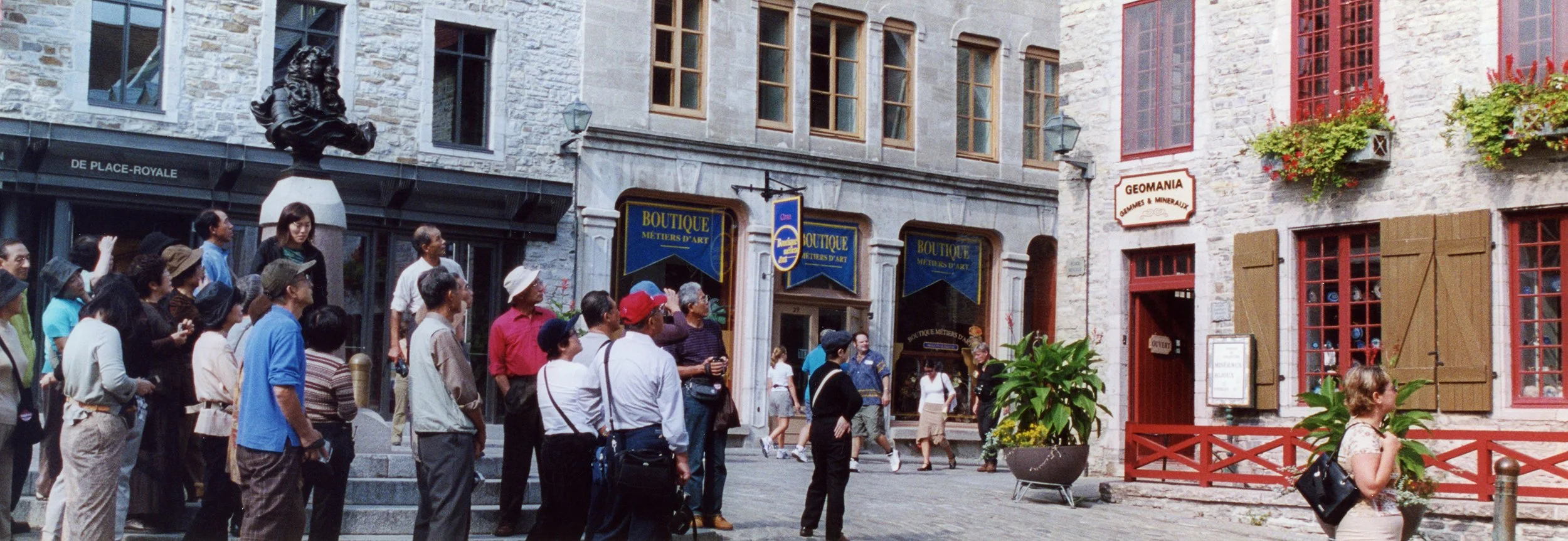
Japanese tourists and some blonde woman stop everything to ignore the creepy head of Louis the 14th and the thoroughly pleasant lower town to hypnotically stare at "Geomania."
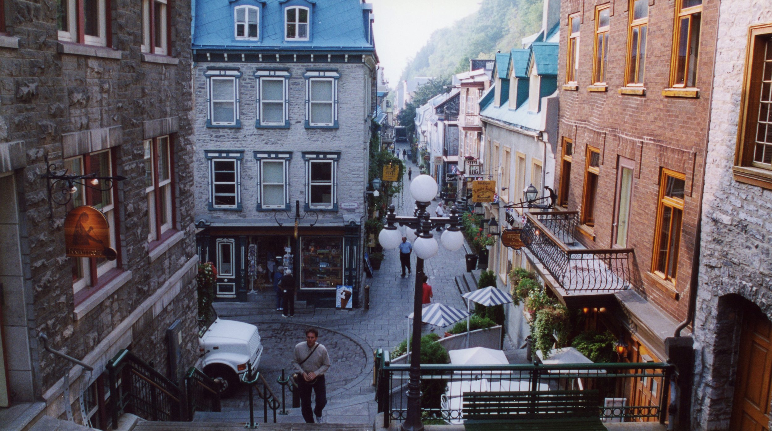
Old Quebec is divided into upper and lower town. Upper town is the walled city, the fortified one that fell to the British, the one where all the rich guys lived, the one where the Chateau Frontenac is perched. The lower town was for everyone else, people too poor or dirty or tired to walk up all those damn steps to the upper town. Halfway down the cliffs and deep in the lower town, cafe lined steps hover over Rue de Petit Champlain and all the people slumming along its 17th Century streets, waiting to catch the funicular up its cliffs back to the accurately named upper town.

Seven or eight hours northeast of Quebec City, the St. Lawrence River finally gives up to become one with its own Gulf. This isolated dead end of Quebec is called the Gaspesie- it contains sections of wildly abandoned coastline, multiple small villages, the last, dying effort of the Appalachian Mountain chain and, at its distant end, Forillon National Park. Once there, moody seas and fog shrouded mountains give way to tremendously out of scale rocks like these- desperately trying to climb out of the stony beach, held down only by the stairs and gravity.

After walking 2250 miles from Georgia to Maine on the well known Appalachian Trail and then another 650 miles from Maine to Quebec on the much less well known International Appalachian Trail, you find yourself on the edge of a cliff in the Gaspesie. There, in front of a lighthouse, a small circle and a few signs in French you are faced with your singular reward for almost 3000 miles of damn tough hiking.

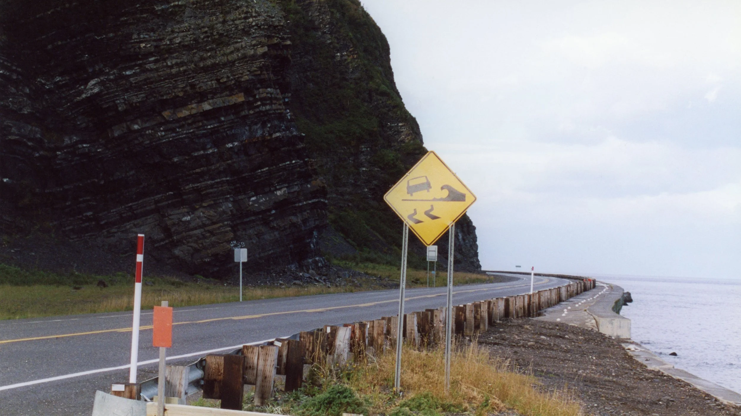
An abandoned stretch of highway along the mighty St. Lawrence River, where local signs warn of dangerous flying cars in the presence of high waves.
The Bay of Fundy, located in an arm of the Gulf of Maine between New Brunswick and Nova Scotia, is famous for its tides. There, for a combination of reasons found nowhere else on earth, these famous tides get quite excessive- the difference between high and low tides in this part of New Brunswick at Cape Hopewell and the Hopewell Rocks is an unbelievable 42 vertical feet. Left behind, three hours before high tide, the (locally) famous Hopewell Rocks do what they can to entertain excited visitors before becoming islands once again.

